Delivering geospatial intelligence and AI-driven solutions
Delivering geospatial and AI-driven solutions with precision and innovation.
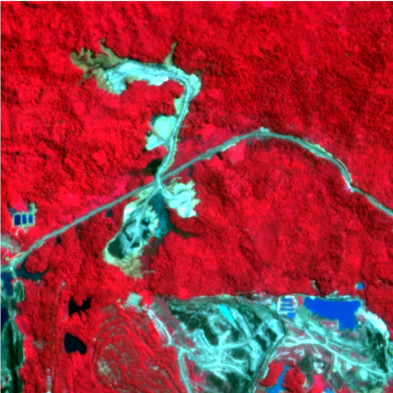
Advanced geospatial data analytics integrating GIS, satellite imagery, and machine learning for environmental monitoring and decision support
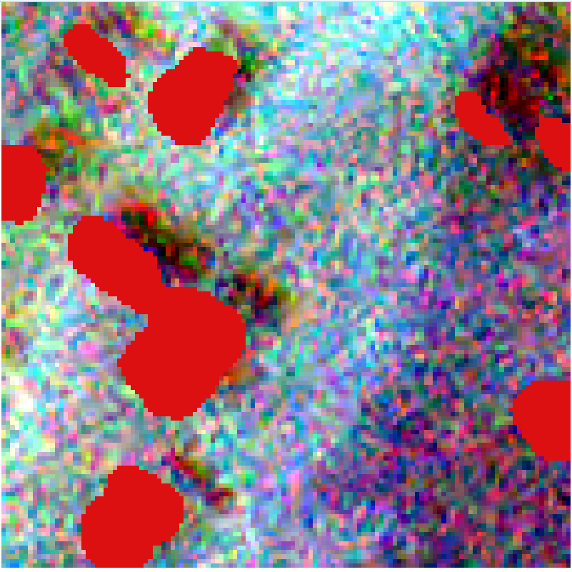
AI-powered geospatial solutions leveraging deep learning for automated feature extraction, object detection, and spatial pattern recognition
Interactive geovisualization platforms and custom software tools enabling dynamic spatial analysis, research dissemination, and project outreach
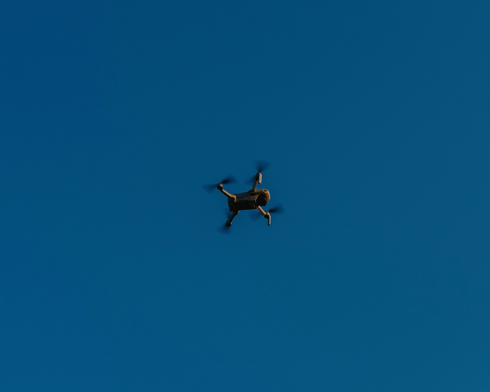
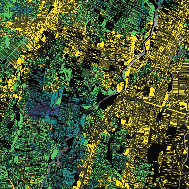
Integrated geospatial intelligence solutions combining satellite imagery, drone analytics, and smart city mapping to deliver precise spatial insights for agriculture, infrastructure, and environmental planning.
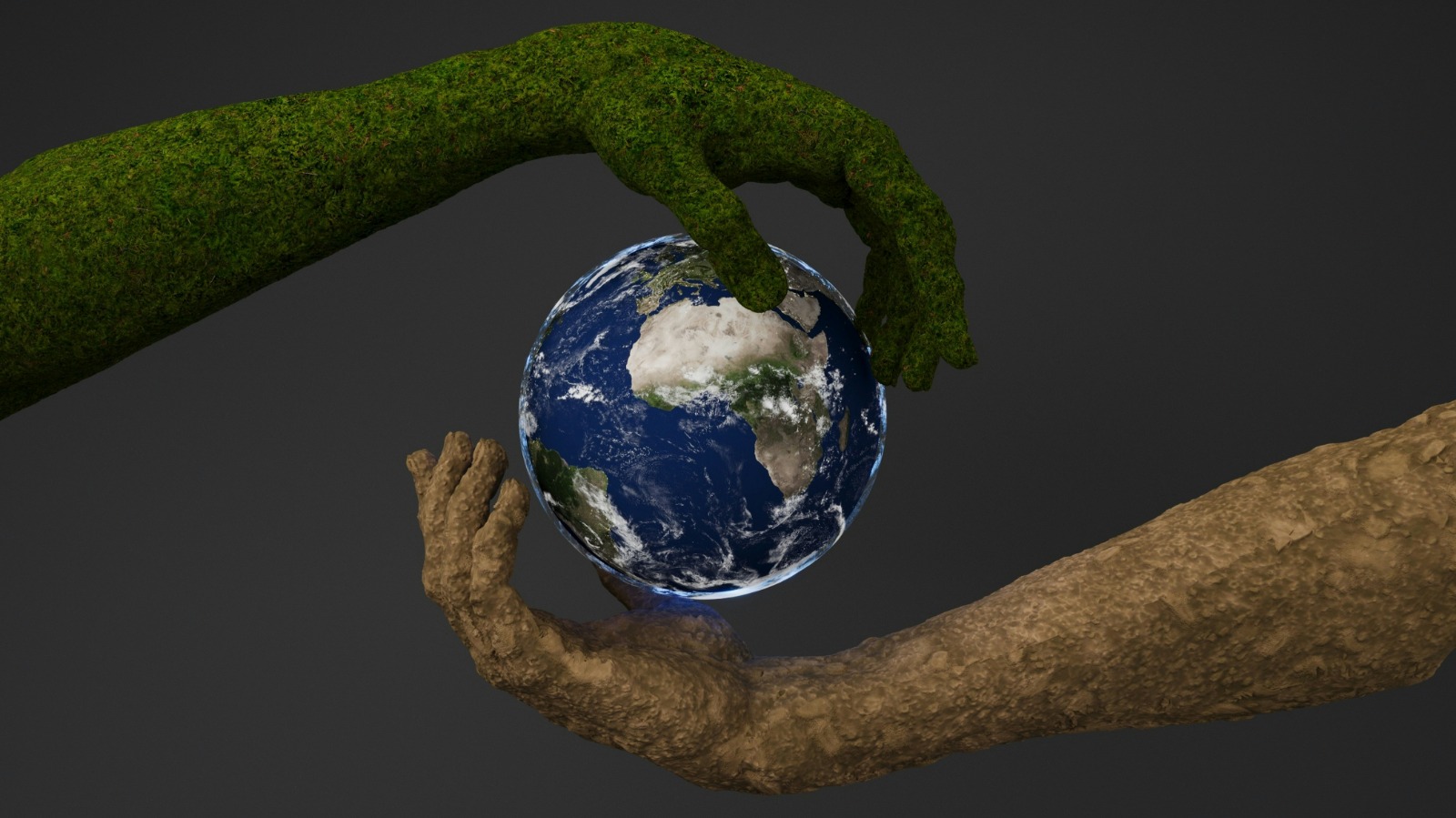
AI-driven geospatial intelligence for environmental monitoring, sustainability analytics, and resilient infrastructure planning

End-to-end machine learning pipelines integrating data ingestion, model training, and automated deployment for accelerated innovation.
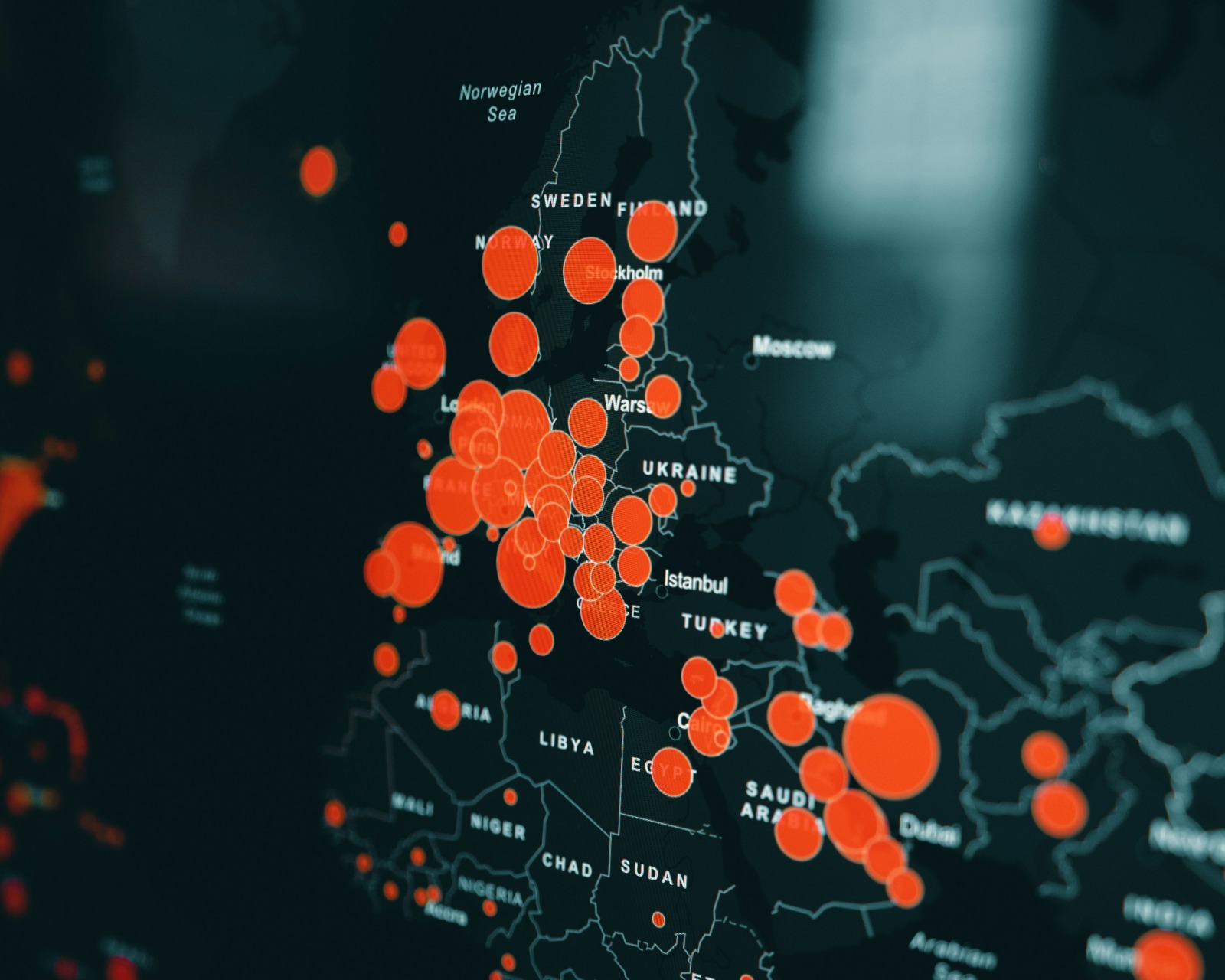
Interactive WebGIS ecosystems delivering dynamic dashboards, spatial analytics, and real-time geovisualization for decision support.

Professional training in geospatial and AI technologies.
Let’s build impactful geospatial and AI solutions together.