
Showcasing our geospatial and AI-driven projects
Showcasing our geospatial and AI-driven work
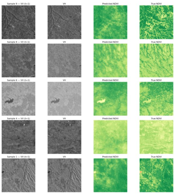
National-scale crop monitoring using multi-sensor satellite data and machine learning to detect planting phases and support data-driven agricultural planning.
Click to view details →
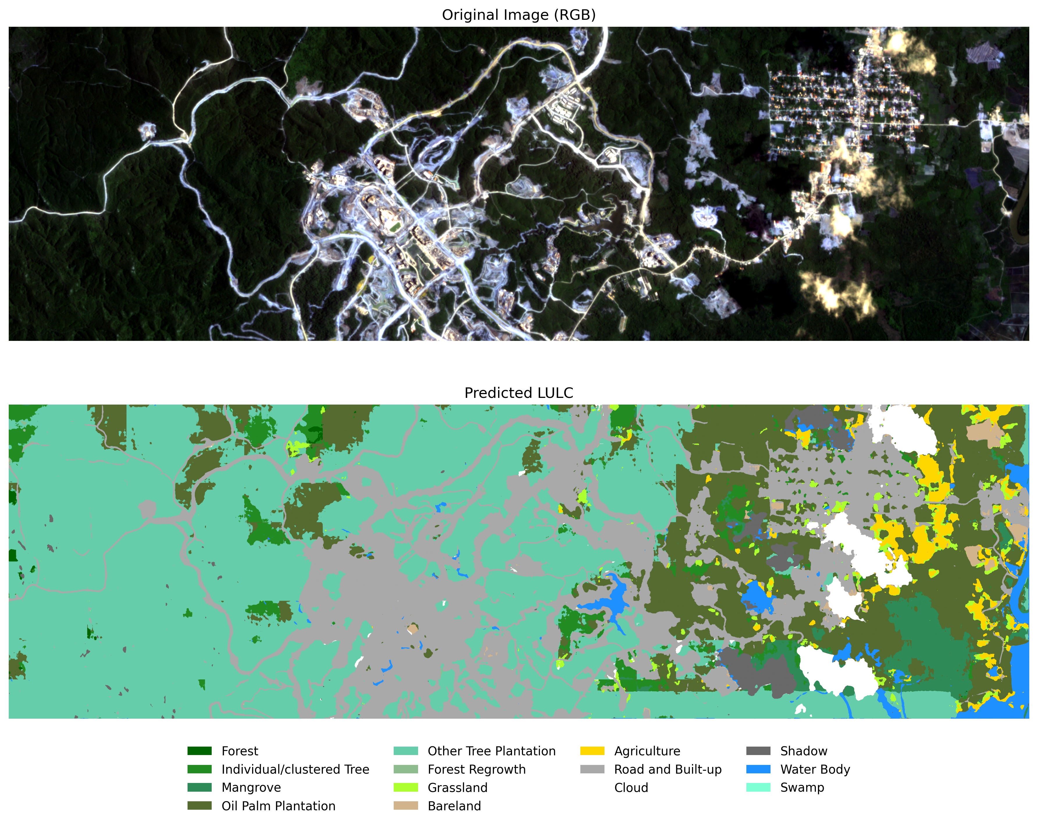
Geo-AI solutions for LULC and biomass mapping using LiDAR and multispectral data, supporting Indonesia’s FOLU Net Sink 2030 with validated, policy-ready insights.
Click to view details →
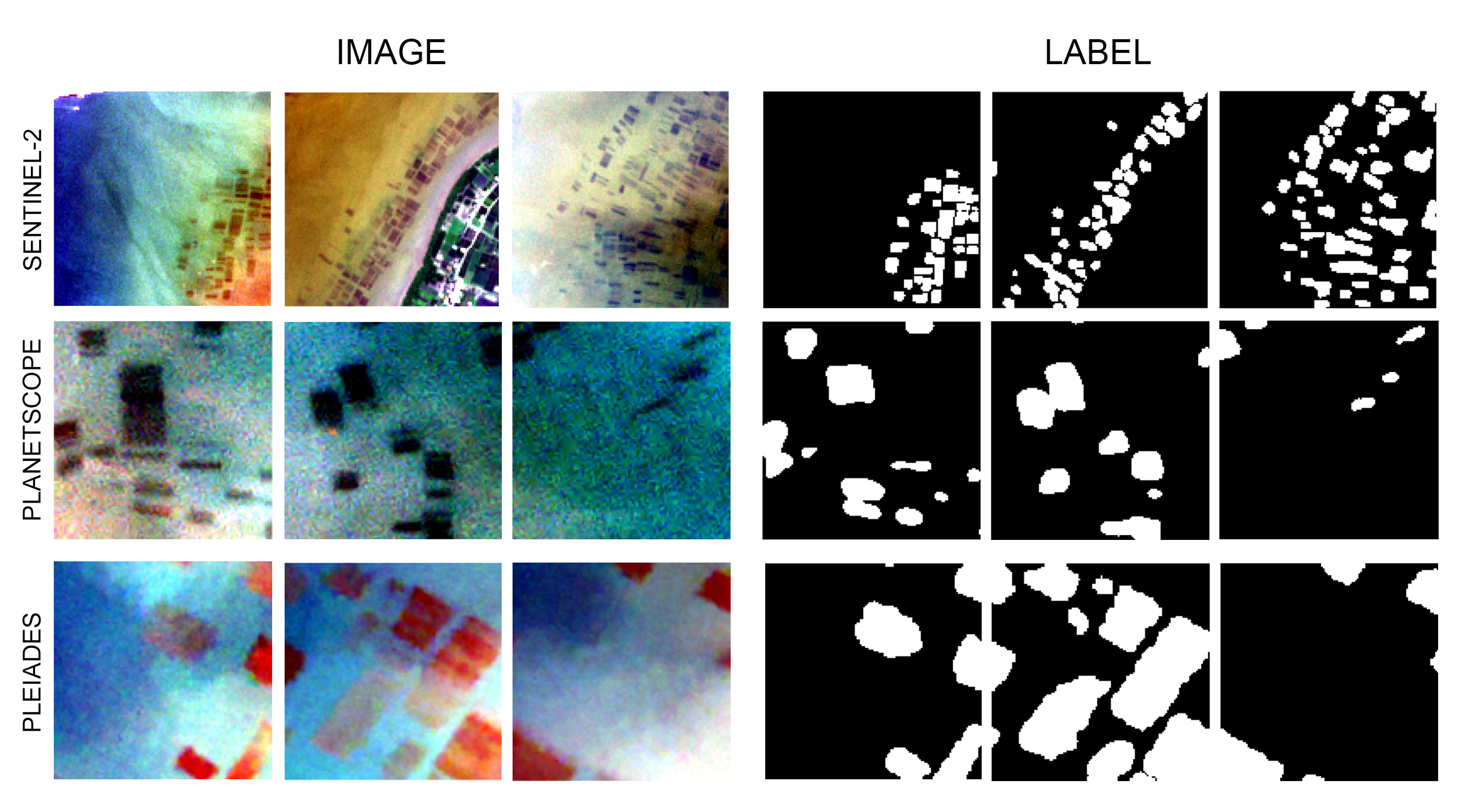
Deep learning–based satellite analysis to map seaweed production and monitor dynamic changes driven by market and climate factors.
Click to view details →
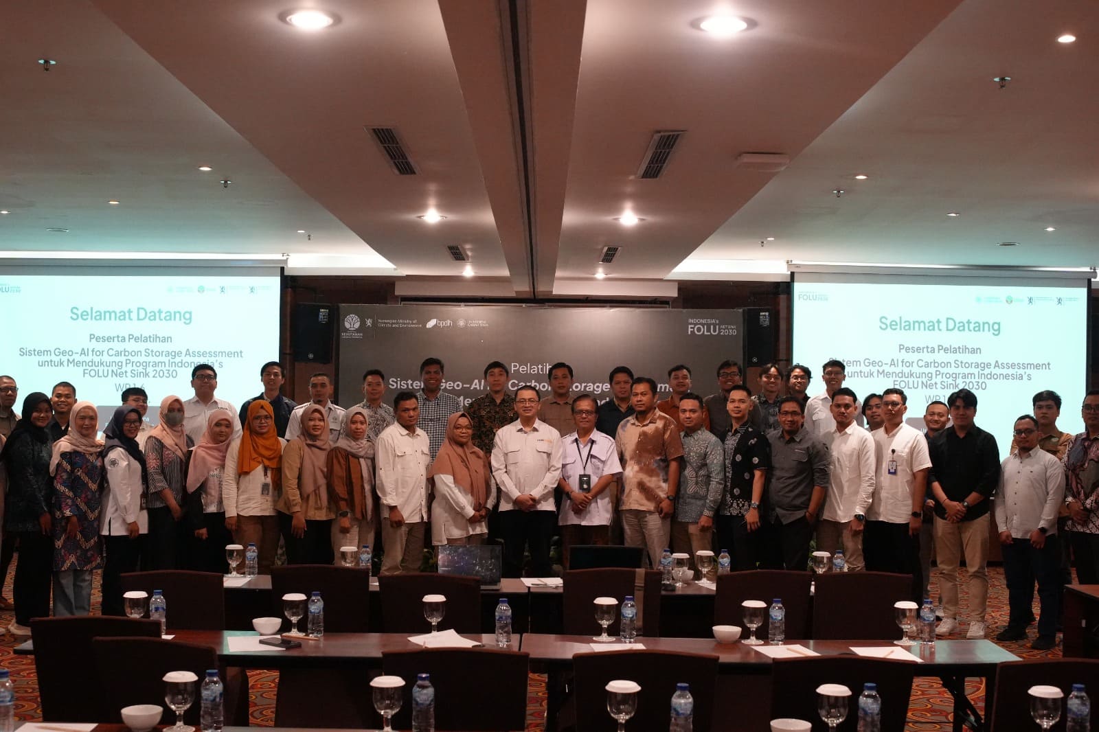
Delivered Geo-AI and remote sensing training for forest carbon monitoring, enabling practitioners to apply AI-driven geospatial methods in support of Indonesia’s FOLU Net Sink 2030 initiative.
Click to view details →
Let’s build impactful geospatial and AI solutions together.